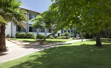
Looking for a delicious and unique brunch spot? Look no further than Bat Harim, a kosher restaurant located in Zichron Ya'akov. This charming eatery offers a brunch menu from 8:00 AM to 6:00 PM, and transforms into a wine bar and restaurant with an elevated menu after 7:00 PM.
The standout feature of Bat Harim is their use of independent produce. All of their cheeses come from the Bat Harim dairy on the Lebanese border, where they're made with natural ingredients and no preservatives. The wines served in the restaurant come from the family-owned Avivim Winery, which has been producing wine for four generations. The winery sources grapes from vineyards in the north of the Upper Galilee to Mount Miron and offers unique varieties such as Barbara, Malbec, and Neviolo.
The menu at Bat Harim offers a wide range of delicious dishes for diners to choose from. For wine enthusiasts, there are wine tastings available for one, three, five, or eight types of wine, ranging from NIS 85 to NIS 300. The cheese tasting platters are also worth trying, with options for four or six types of cheese, or up to ten types of cheese for a more extensive tasting. Those looking for a full dining experience can opt for the tasting meal, which includes chef dishes, cheese tasting palettes, and paired wine tastings. For main courses, there are options from the sea and from the field, as well as Italian-inspired dishes, including tortellini, ravioli, and risotto. Lastly, dessert options include crumbles of panna cotta, caramelized persimmons, and brown butter ice cream. Whether you're a wine lover, cheese enthusiast, or looking for a full dining experience, Bat Harim has something for everyone.
Overall, Bat Harim is a unique and delicious brunch spot that offers a range of dishes using high-quality ingredients. With its charming ambiance and great service, it's a must-visit destination for foodies in Zichron Ya'akov.


