The Golan Geography
Golan Heights travel guideThe Golan has two geographically distinct sections-the Hermon Range in the north and the Golan plateau in the south. The former is one of the highest mountain ranges in Israel; In the entire region, in fact. Actually, only seven percent of the range lies in Israel: the rest is divided equally between Syria and Lebanon. The total length of the range is 80 kilometers, and Its width varies between 17 and 23 kilometers. The summit of the Hermon Range, Mount Hermon in Syria, is 2,814 meters above sea level The range’s second highest peak, Mitzpeh Shlagim in Israel, is 2,224 meters above sea level.
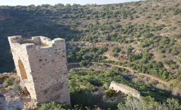
The Golan plateau begins Immediately to the south of the Hermon Range. It is a startlingly large, sixty- kilometer-long, basalt-covered tableland, sliced off by deep canyons at its edges. The plateau slopes gently from north to south, descending from 1,200 meters above sea level on its northern edge to 300 meters above sea level at its southern rim. The area to the west of the Golan, however, encompassing the Hula Valley and the Sea of Galilee (the Kinneret), is 200 meters below sea level, and the dramatic disparity creates some majestic scenery along the sharp escarpment that marks the Golan’s western border. On that side of the Golan, water courses down ravines and canyons to basalt waterfalls that hurl the melted snows of winter into a series of deep secluded pools.
The basalt on the Golan comes from a series of now extinct volcanoes whose thumb-like contours and craters dot the Golan. serving as good scenic lookouts alongthe flat plateau. Volcanic activity on the Golan has also resulted in geological formations created by the lava that once flowed out of the volcanoes, as well as a myriad of paleornagnetic phenomena.
https://www.inisrael.com/golan/geography.htm