The Golan Heights
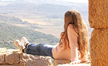
Golan Heights travel guideThe Golan is one of the least visited and known regions of Israel. This Web Guide seeks to help you discover the secrets of this beautiful and serene landscape, whose hills and cliff faces are replete with natural and historical sites.
For the nature lover the Golan has much to offer. Here, in this untamed land, flora and fauna from different habitats come together in a unique and natural setting.
Here you’ll find wolves and gazelles, squirrels and coneys and much, much more.
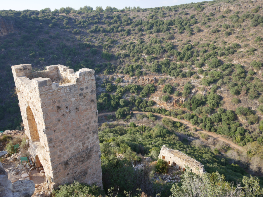
For the history buff, the Golan is a region of endless fascination ‘ Prehistoric sites and megalithic edifices, whose purpose remains a mystery, are dotted through the hills and valleys; Hellenistic towns, Roman fortresses and Crusader castles stand guard over the roads and ancient highways of the Golan.
For the pilgrim the Golan is the place where Jesus sought his last moments of peace before embarking on his final journey to Jerusalem. Three of the disciples were born on the Golan, the miracle of the Gadarene Swine took place here as did the healing of the blind man, the second miracle of the loaves and the fishes and the transfiguration. It was here, too, that Jesus bestowed on Peter the stewardship of the kingdom of God.
Over the past few years a range of attractive accommodations have opened on the Golan, from rustic bed and breakfast facilities to exclusive guesthouses and hotels. Hiking trails, parks, picnic sites and cycle paths await the visitor, affording a range of exciting touring possibilities
We very much hope that this guide will help you plan and enjoy your trip to the Golan and look forward to hosting you here.
https://www.inisrael.com/golan/index.html